
Traveling can be a complicated task. Whether you're an aviation enthusiast, a frequent traveler, or simply trying to pick up a loved one from the airport, tracking flights in real time is an extremely useful tool.
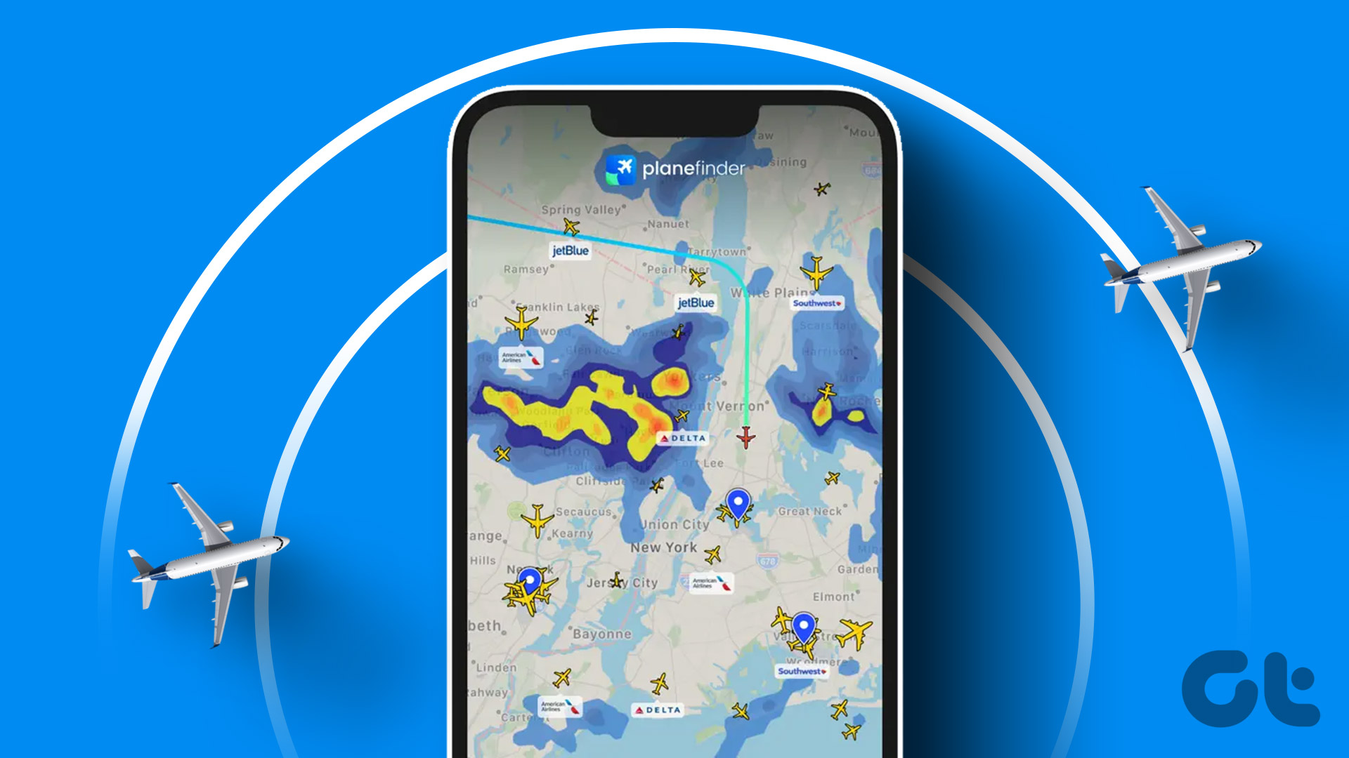
Flight tracking apps provide instant information about departure, arrival, delays, gates and even the weather along the flight route. Nowadays, there are several flight tracking apps available that you can use to get real-time information.
The Best Apps to Track Flights
FlightAware
FlightAware is one of the most well-known and trusted flight tracking apps. Provides real-time updates on delays, cancellations, port changes, and even the exact route a plane is taking. Furthermore, its intuitive interface makes it easy to track flight details.
flightradar24
Flightradar24 is another popular app for real-time flight tracking. This app not only shows the exact trajectory of the flight, but also provides detailed information about the aircraft, including speed, altitude and much more.
The Flight Tracker
The Flight Tracker is a complete flight tracking application that allows you to track flights around the world in real time. It also has the ability to send notifications of flight changes, which can be extremely useful for those who travel frequently.
FlightStats
FlightStats provides a wide range of information, from flight details to airport conditions. This app is especially useful for anyone who needs accurate and up-to-date information about flights and airports.
Conclusion
In today's fast-paced world, accurate and up-to-date information is essential for frequent travelers. With these real-time flight tracking apps, you can have all the necessary information at your fingertips. Choose the one that best suits your needs and start traveling more smoothly and efficiently.
Where does the little dot that moves on the map come from?
The data displayed on the screen doesn't come from a military radar or a secret contract with airlines. Most of the time, it comes from the aircraft itself, which transmits the information by radio to anyone who wants to listen.
The technology is ADS-B. The aircraft determines its position using navigation satellites and transmits a message several times per second with its identification, position, altitude, speed, and direction. The transmission is open, which is why civilian tracking is possible.
On the other side are the ground-based receivers. A large portion of these are maintained by enthusiasts who install a small antenna at home and relay what they receive to the platforms in exchange for access to extra features. Together, these receivers form the coverage that the website displays.
The platform brings everything together, cross-referencing it with aircraft and scheduled flight databases, and draws the map. The mobile app is simply a window to this database.
Why does the plane disappear in the middle of the ocean?
The ground antenna needs to be able to see the aircraft. Where there is no receiver installed, there is no reception, and the location disappears from the map.
This answers the most common question from those who track international flights. Over oceans, deserts, forests, and sparsely populated regions, coverage is sparse or nonexistent. The route is shown as a dashed line or an estimated segment, calculated from the last known position, speed, and flight plan.
Some platforms partially fill this gap with satellite reception, where satellites pick up the aircraft's transmission. Coverage improves, but it is not uniform across all regions or on all flights.
There is yet another case: flights that appear without complete identification. Operators can request restrictions on data display, and private and government aircraft often use this feature. In these cases, the tracker shows little or nothing.
It's worth adding to this the natural delay of the system. Between the transmission from the plane and the update on the cell phone screen, seconds or a few minutes pass, depending on the source and the access plan. The position displayed is always where the plane was, not where it is exactly now.
Predicted, estimated, and actual: three schedules with similar names.
Those who track a flight using two different sources often find that the times don't match. The reason is usually the origin of the data.
The airline publishes the schedule according to its own systems. The airport publishes according to its own systems. The tracker can display the aircraft's actual position, calculated from the transmission. The three pieces of information refer to slightly different things.
- Expected It's the schedule, the one that's on the ticket.
- Estimated This is the current projection, recalculated as the flight progresses.
- Real This is what happened, recorded when the event occurred.
There's a detail that confuses many people waiting for someone in the arrivals hall. The official arrival time usually marks the moment the aircraft docks on the apron, not the moment the door opens. Between landing, taxiing to the designated position, attaching the jet bridge or positioning the stairs, and allowing disembarkation, a considerable amount of time passes. After that comes baggage handling and, on international flights, immigration.
Your rights when a delay occurs.
Following the map helps you prepare. What is legally valid is in ANAC Resolution 400, and it's good to know it before you need it.
The company must inform the customer of the delay and keep them updated every thirty minutes. Material assistance is prioritized according to the waiting time, counted from the original schedule.
- From 1 hour, Ease of communication, such as internet or telephone access.
- From 2 hours, Meals appropriate to the time of day, usually provided by voucher or as a snack.
- From 4 hours, Accommodation and round-trip transportation are provided when the passenger is not in their city of origin or when an overnight stay is required.
If the delay exceeds 4 hours, and also in case of cancellation or denied boarding, the passenger chooses between three options: rebooking on another flight, from the same company or another; full refund; or provision of the service by another mode of transport.
The choice is the passenger's, not the airline's. Keep your boarding pass, receipts for expenses, and the reference number for each service interaction. Without documentation, any subsequent claim will be weak.
Using a tracking device can truly make your life easier.
The most useful function isn't seeing the plane's image on the map. It's finding out about the delay before it appears on the airport's display board.
The aircraft that will operate your flight is almost always finishing another leg of its journey. If it departed late from the previous city, your flight will be delayed, even if the display continues to show "on time" for another hour.
The process is simple: look up your flight number in the app, see which aircraft is assigned, and check its recent flight history or the previous leg. This will help you decide whether it's worth leaving home later, rescheduling your connecting flight, or letting your pick-up person know.
Two honest caveats. The aircraft designation can change at the last minute, especially when the airline swaps equipment precisely to avoid delays. And delays on the previous leg don't always carry over, because some of the time is recovered en route and on the ground.
Privacy: the map shows the aircraft, not who is inside.
It's worth clarifying what this type of app doesn't reveal, because the question always arises when someone discovers that it's possible to track a flight via mobile phone.
The transmission comes from the aircraft and identifies the aircraft. There is no passenger list, name, seat, or any personal data in this information. Knowing that a flight is en route does not mean knowing who boarded it.
It's also not possible to locate a specific person using the tracker. Anyone who wants to track someone's arrival needs the flight number, and that number has to be provided by the person themselves.
It's worth remembering the obvious: inside the aircraft, your cell phone is in airplane mode. An unanswered message in flight is normal and doesn't mean anything more than that.