
Let's start by clearing up the confusion that gives this topic its name: There is no app that shows your house live via satellite.. None. What Google Earth, Google Maps, and competitors display when you type in your address is a archive photograph, The image, captured months or even years ago, was processed and only then published. If there's a car in the garage in that picture, it may have been sold in 2022.
Yes, updated satellite images do exist — but they're meteorological, showing clouds and storms with kilometer-level resolution. An entire city occupies only a few pixels; your house doesn't appear. And when it comes to actually seeing your house right now, the answer doesn't come from space: it comes from your own camera, installed by you. Below, we've separated the three cases and what each application actually delivers.
Why doesn't any public satellite broadcast your home live?
Satellites that photograph the ground in high resolution are few and far between, and they don't remain stationary over one point. They orbit the Earth and pass over the same region every few days—and even then, they only record the area if there are no clouds in the way. After capture, the image is still processed, geometrically corrected, licensed, and distributed. This cycle takes weeks or months.
Therefore, what you see on the maps is a mosaic: parts of the same city may have different capture dates. Maintaining a continuous, high-resolution transmission of the entire planet would require a volume of satellites and bandwidth that simply doesn't exist—and would run into privacy and security regulations in virtually every country.
When an app advertises itself as a "live satellite" or "see your home in real time," that's marketing language to attract downloads. Be wary: these apps usually just open Google Maps from within, covering it with ads, and some request permissions that have nothing to do with maps.
Map apps: archive image, with date visible.
Google Earth
It's the most complete tool for exploring the planet in 3D: you can rotate the terrain, measure distances, see the slope of the land, and get very close to a house or a city block. Its biggest advantage is its accuracy with dates: Google Earth shows the date the image on the screen was captured, and the computer version even has a timeline with old photos of the same address.
What it is: Viewer for archived satellite and aerial images, not live streaming. Price: free. Where to download: android It is iphone.
Google Maps and Street View
Google Maps Satellite mode uses the same data collection as Earth, with the advantage of already being integrated with traffic and routes. Street View, which is within Maps itself, is something else entirely: it consists of photos taken at street level by cars and contributors, and these are also old photos—in many Brazilian streets, the most recent pass-through is several years old.
Real-time traffic information, however, is accurate — but it doesn't come from satellites: it's calculated from the anonymous location of cell phones on the road. Price: free. Where to download: android It is iphone.
Satellite near real-time: what it shows is the sky.
Zoom Earth
Here, the updates are genuine: Zoom Earth displays weather satellite images that are refreshed every few minutes, showing clouds, cold fronts, cyclones, and wildfires moving across the map. It's the closest thing to "live satellite" that a free app can offer.
The limitation becomes clear as soon as you zoom in: the resolution is kilometers per pixel, designed for observing the weather. Houses, streets, and cars don't appear—nor could they. Price: free. Where to download: android It is iphone.
Windy.com
It follows the same line, with satellite layers, rain radar, wind, temperature and waves, as well as model-based forecasting. To track rain approaching your neighborhood in the next few hours, it performs better than any app that promises a satellite view of your street.
Price: Free, with an optional subscription for advanced features. Where to download: android It is iphone.
To view your house now, the camera needs to be yours.
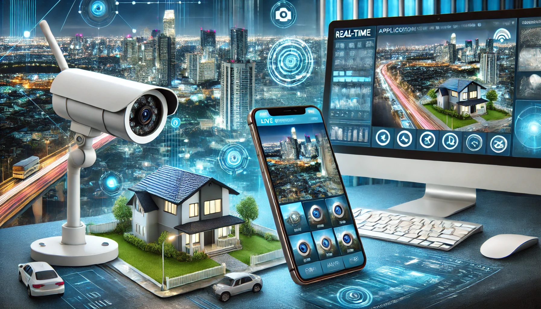
This is the part that actually delivers live images of your home — and it's not spatial at all. It involves apps connected to a camera that you install in the location. It's also worth noting: filming your own property is permitted, but pointing the camera at your neighbor's house or into spaces where other people have an expectation of privacy may constitute a violation of privacy.
Alfred Security Camera
It's the cheapest option on the list because it doesn't require new equipment: you install the app on an old phone, leave it plugged into a wall socket in a corner of the house, and then install the same app on your current phone to watch. The transmission is live, with motion detection and two-way audio.
Price: Free, with ads; subscription improves resolution and cloud storage. Where to download: android It is iphone.

Ring – Always Home
The Amazon Ring app controls Amazon's camera doorbells and cameras. It shows who is at the door, saves motion alerts, and allows you to talk to visitors via your cell phone. It's important to know that... The app alone does nothing.It relies on Ring equipment purchased separately, and cloud recording is charged by subscription.
Price: The app is free; the hardware and recording plan are paid services. Where to download: android It is iphone.
Arlo Secure
Same logic: it's the Arlo camera app, with night vision, motion detection, and the ability to monitor multiple points on the same screen. It also requires the brand's cameras and a subscription to save the video history.
Price: Free app; cameras and plan sold separately. Where to download: android It is iphone.
Google Home (Nest cameras)
If your cameras are Nest, their home today is the Google Home app: the latest models only work there, while older ones still open in the Nest app. The image is live, with event history and integration with the rest of your connected home.
Price: The app is free; Nest cameras and the Nest Aware plan are paid services. Where to download: android It is iphone.
How to find out the age of the image you are looking at.
Before drawing any conclusions from a satellite photo—whether your neighbor's construction project has even begun, whether the pool exists, or if the land is cleared—check the date. On Google Earth on your phone, open the address and look at the bottom of the screen: the capture date appears along with the image credits. On the computer version, the clock icon opens the timeline and allows you to compare the same point over the years.
In Street View, the date the car passed is indicated in the corner of the screen, and in many locations it's possible to switch to previous records. If the app you installed doesn't show any date and promises a live view, that's precisely the sign that the promise doesn't hold up.
Conclusion
In short: satellite imagery shows how a place used to be, not how it is now. Google Earth and Google Maps are excellent for recognizing a neighborhood, planning a trip, or understanding the surroundings of a property, as long as you read the image's date. Zoom Earth and Windy deliver truly up-to-date satellite images, but of the weather, with clouds instead of rooftops.
If the goal is to monitor your home right now, the way to do it is with your own camera transmitting over the internet—using Alfred on an old cell phone if you want to spend nothing, or Ring, Arlo, or Nest equipment if you prefer a fixed solution. Any app that promises more than that via satellite is selling something that publicly available technology doesn't offer.