
Google Earths seems to be the unstoppable leader when it comes to a visualization platform. With this application you can access a multitude of virtual representations of the Earth in three dimensions. However, there are other applications to see your city from satellite It's worth trying. So, below are the best app options to see your city from satellite.
3 best apps to see your city from satellite
NASA Visualization Explorer
An application sponsored by the American Space Agency is, without a doubt, a quality application. This is therefore the case with NASA Visualization Explorer, an open source program that is definitely one of the best alternatives to Google Earth.
You must know that this application is a software development kit with Java as its base.
NASA Visualization Explorer is designed primarily for developers. They can use it to develop programs using NASA or USGS data. These can be topographic maps or satellite images.
A multitude of controls are offered by NASA Visualization Explorer, ranging from zoom to tilt. Additionally, millions of political boundaries, place names, and lines of latitude or longitude are included in the database.
What you still need to know about NASA Visualization Explorer is that a large number of plugins and add-ons are associated with it. You will be able to use them to complete the application's features.
For example, you can add camera control scripts. Likewise, some plugins and add-ons allow you to add XML files that display placeholders that appear as icons.
Earth 3D
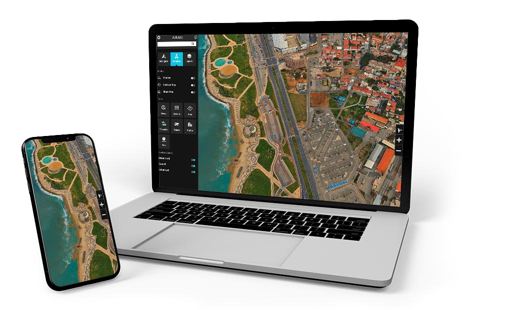
Do you just want to have an app to view earth satellite images? In that case, you can settle for Earth 3D. This alternative to Google Earth is browser-based and guarantees access to any corner of the globe.
As its name suggests, Earth 3D is an application available online. You can use it to view satellite images of the Earth, using various sources.
The sources most used by Earth 3D are NASA, Bing Maps and ArcGIS. You can specify a custom date for images provided by the US Space Agency.
Earth 3D also has a search feature that allows you to view images about any location on Earth. What's even more interesting about the app is that you have the opportunity to share the images you view, thanks to direct links!
TerraExplorer
Terra Explorer is a browser that allows you to view places in the world in 3D. It is the ideal tool for organizing trips and monitoring sporting events.
Precision and flexibility are among its assets. There are three versions or 3 levels of functionality: TerraExplorer viewer, TerraExplorer plus, TerraExplorer pro.
Other options like creating 3D video and slideshow, analyzing, sharing high-resolution 3D geospatial data are available to you.
Terra Explorer is characterized by its interoperability, support for any format, its advanced drawing tools, but also by its image designs and altitude overlay.
See too:
Applications to change the color of your home wall
Application to measure blood pressure: everything you need to know!
Applications for customizing cars: 3 good options